Guest post by Artist in Residence, Lily Hibberd
Lily Hibberd is an interdisciplinary artist and writer working with frontiers of time and memory. Her projects are developed in long term place and community-based collaboration, and research with local artists, scientists and historians through combinations of performance, writing, painting, photography, sound, moving image and installation art.
This blog has been created for ‘Boundless – out of time’, Lily’s month-long artist and research residency at Sydney Observatory. View all of Lily’s posts here and read the introduction to Boundless Remapping Sydney Meridian. Presented by Powerhouse Museum as part of NIRIN, the 22nd Biennale of Sydney 2020.
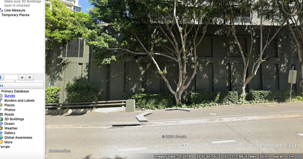
Wandering down along the hill, after the solar panel and the overpass to nowhere, count the fifth tree and on the green wall is Station 6.
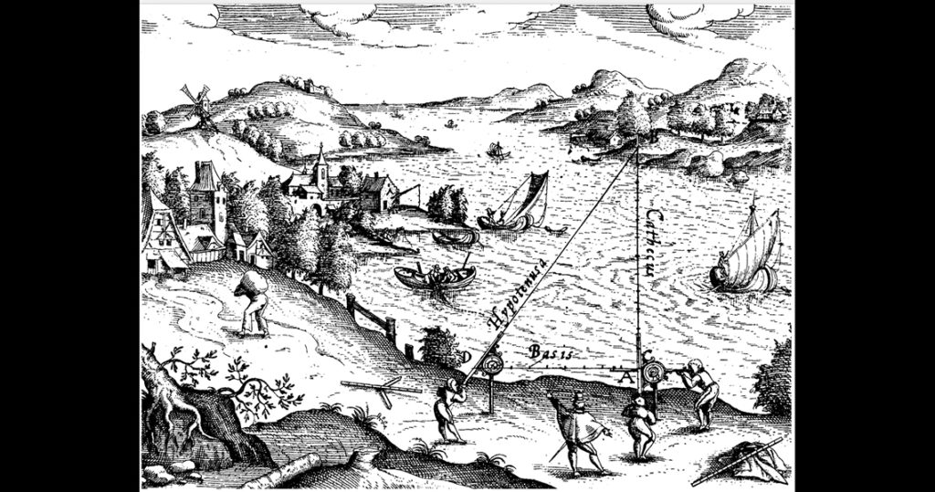
The use of two optical angles to determine a third, known as triangulation, has been used as a geometric method to measure the Earth as far back as the 6th century BCE. Known as geodesy, from the late 16th century the trigonometric method went hand-in-hand with a massive imperial expansion that succeeded to map out, measure and use this rationale to claim land beyond the borders that colonisers argued was ‘ownerless’ because it had not yet been charted in this way.
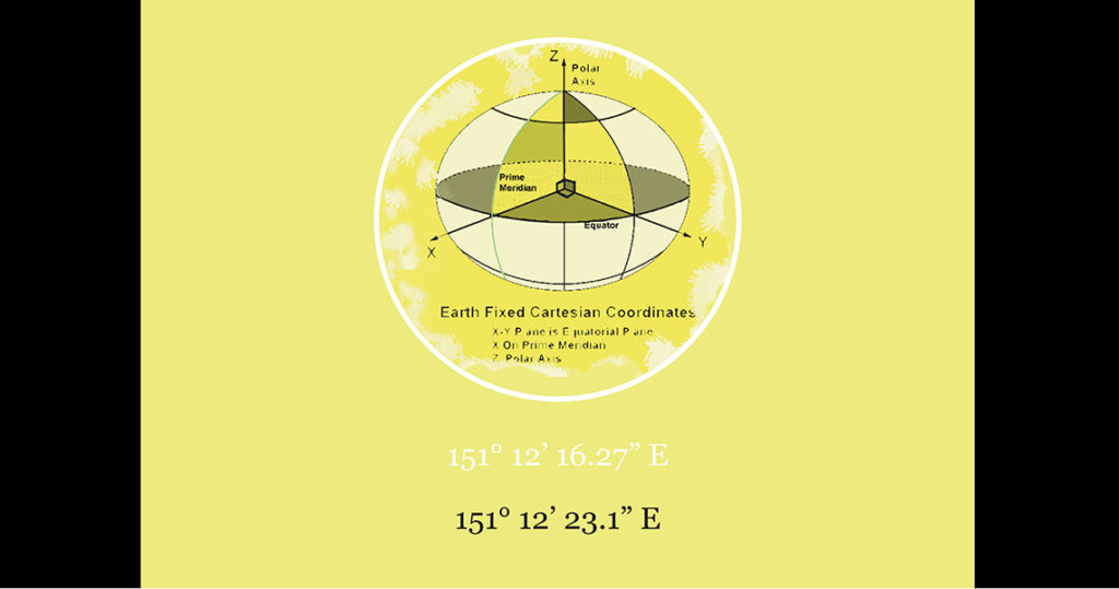
The technique did not vary in the colonial period in New South Wales, and as soon as it had been fixed, Sydney’s Meridian became the baseline for all of its territorial measurements. Not only for the colony of Sydney and across New South Wales but with reference to the Cartesian coordination of the Earth as a whole.