Guest post by Artist in Residence, Lily Hibberd
Lily Hibberd is an interdisciplinary artist and writer working with frontiers of time and memory. Her projects are developed in long term place and community-based collaboration, and research with local artists, scientists and historians through combinations of performance, writing, painting, photography, sound, moving image and installation art.
This blog has been created for ‘Boundless – out of time’, Lily’s month-long artist and research residency at Sydney Observatory. View all of Lily’s posts here and read the introduction to Boundless Remapping Sydney Meridian. Presented by Powerhouse Museum as part of NIRIN, the 22nd Biennale of Sydney 2020.
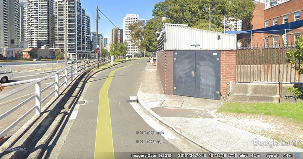
After exiting the main gates of the Observatory, continue to the right, downhill to the corner of Upper Fort St. Just behind the children’s crossing sign, on a set of grey doors, is Station 3.
The first meridian measure was supposed to have been established when the Observatory was erected in 1858. But this was by no means the first instrument of its kind, nor the only effort to determine a meridian on this continent, as we will learn on this walk.
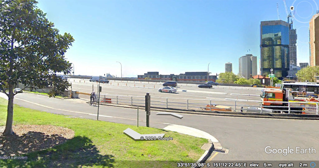
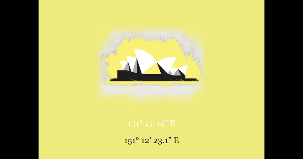
The prime meridian of New South Wales was not always based at the Observatory but passed first of all through Fort Macquarie, situated on one of the picturesque headlands of Sydney Harbour. Look where the Opera House stands today, peeking out above the expressway.
Fort Macquarie was the site chosen as the only Australian reference point in the global longitude circuit, measured on Captain Fitzroy’s voyage around the world in HMS Beagle between 1831 and 1836. On board the ship were 22 chronometers, each one keeping Greenwich Mean Time, over a distance from London to Sydney of 11,906km.
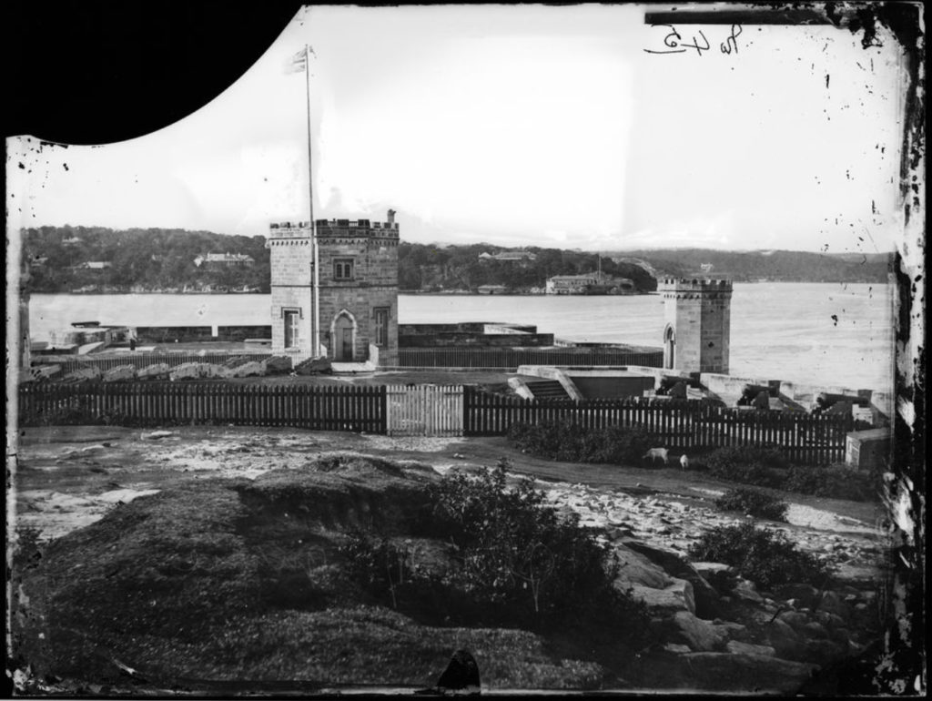
It was in 1836 that the Beagle’s clocks determined longitude at Fort Macquarie as 10h. 4m. 32.14s – that is 10 hours 4 minutes and 32.14 seconds from Greenwich and a longitude of 151° 15′ 14″E. Those with keen eyes will see that these are provided as the reference coordinates for Station 3.